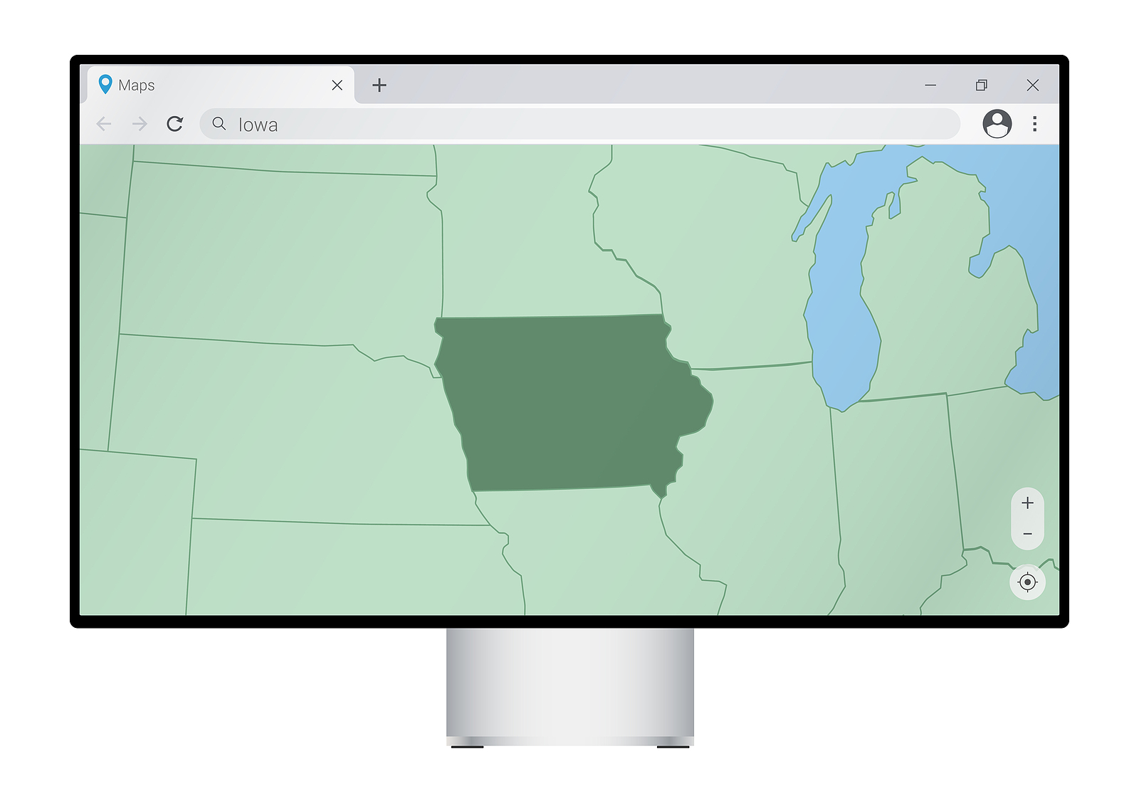
Primarily used to add data sets to computer mapping programs in the early stages, Geographic Information Systems (GIS) now incorporate a wide variety of tools that allow users to relate information on a large scale. Local governments have long used GIS as a way to map and track its boundaries and infrastructure with some taking advantage of the latest GIS tools that offer additional benefits.
Historically, GIS has provided users a wide variety of mapping capabilities to display geographical information such as topography, boundaries, road infrastructure, lots lines, land uses and bodies of water. Some systems can also show other types of data, including wetland and flood areas, utility infrastructure, crime mapping, traffic flows and patterns, and locations of trees. One of the most important benefits of a GIS is its ability to coalesce various data into one user-friendly package. Cities need to collect, maintain and update all kinds of data and maps – from city boundaries to water lines to the location of fire hydrants. Knowing where these items, and many more, are located in relation to one another plays an important role in nearly any city planning activity. Picture a road project and all that it might entail: obtaining easements from adjacent property owners; excavating and grading soil; laying water, sewer and other utility lines; installing street lights and street signs; adding sidewalks and trails; and of course paving the street. Considering these aspects of a simple road project, one realizes that having accurate and detailed information about what is in the project area is paramount.
The need for accurate information is one of the primary reasons for including GIS in planning activities for many cities. As such, properly capturing the data is essential to any GIS and several methods are used to obtain desired information. A common method with GIS is a technician using a Global Positioning System handheld receiver that points to the sky and connects with a satellite to pinpoint a particular spot. Data is also brought into a system by digitizing existing maps and aerial photographs. With the data collected, users can start manipulating it to show any number of things. Many GIS organize data into different layers. For example, a system might have a map with data on all of a city’s roads, which is one layer. The system might also have a layer that shows a city’s water and sewer lines. Viewed apart, these maps would be beneficial; however, when added together a city official can see how the roads and water and sewer lines fit together, making the map more robust.
GIS can also be beneficial when working with neighboring governmental units. A county government, for example, may need data showing municipal boundaries, lot lines, road right-of-ways and centerlines, bodies of water, and subdivision boundaries, among other things. The city also needs a variety of data tracked, including utility lines, zoning classifications, traffic signs and signals, streets and sidewalks, park boundaries, tree locations and trails. Adding these layers of data gives city and county officials a wealth of information at their fingertips. Partnering with different entities can provide a more diverse and resourceful system, creating a better service for the community.
Planning efforts are often enhanced by the use of GIS. Having important information about a city’s infrastructure, boundaries and land uses gives planners a solid foundation of data to use when assessing different plans. Using GIS to track maintenance and repairs to infrastructure can be beneficial by helping staff members keep accurate information about the condition of utility lines.
Geographic Information Systems
Latest Resources
Our resources are continually updated, here's some of the newest resources.

Are you curious about public utility rates for water, wastewater and stormwater utilities? Iowa Finance Authority…

In August 2022, the League conducted a Civility Survey, to help us understand and communicate the…

In November 2022, the League surveyed mayors to learn about their perspectives and observations on economic…


